The Juxtaposition of
Natural
+
Constructed
These projects below were created for friends and family. They demonstrate where the individual grew up. They were framed to be placed in their home.
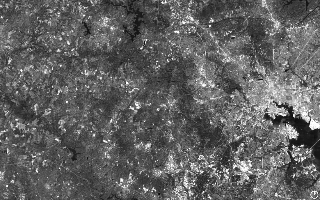
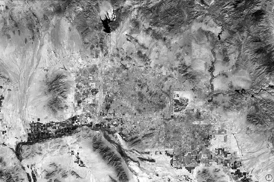
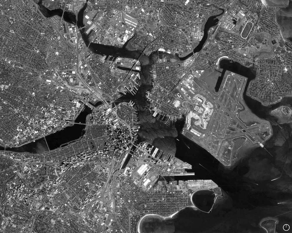
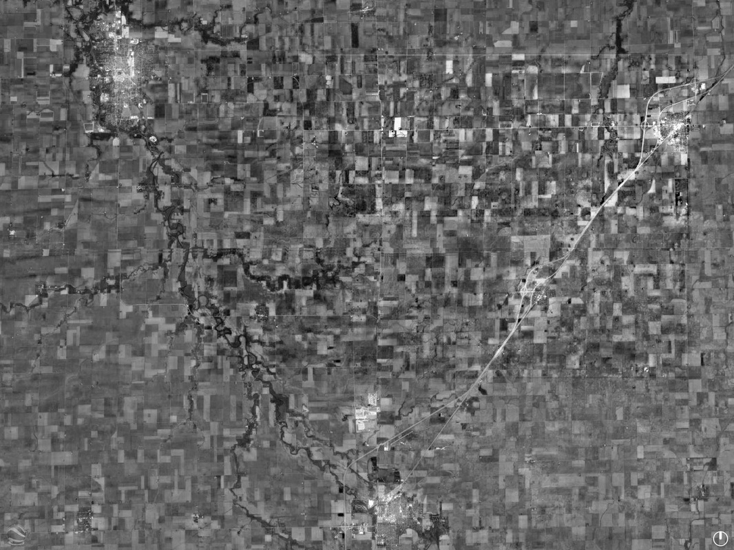
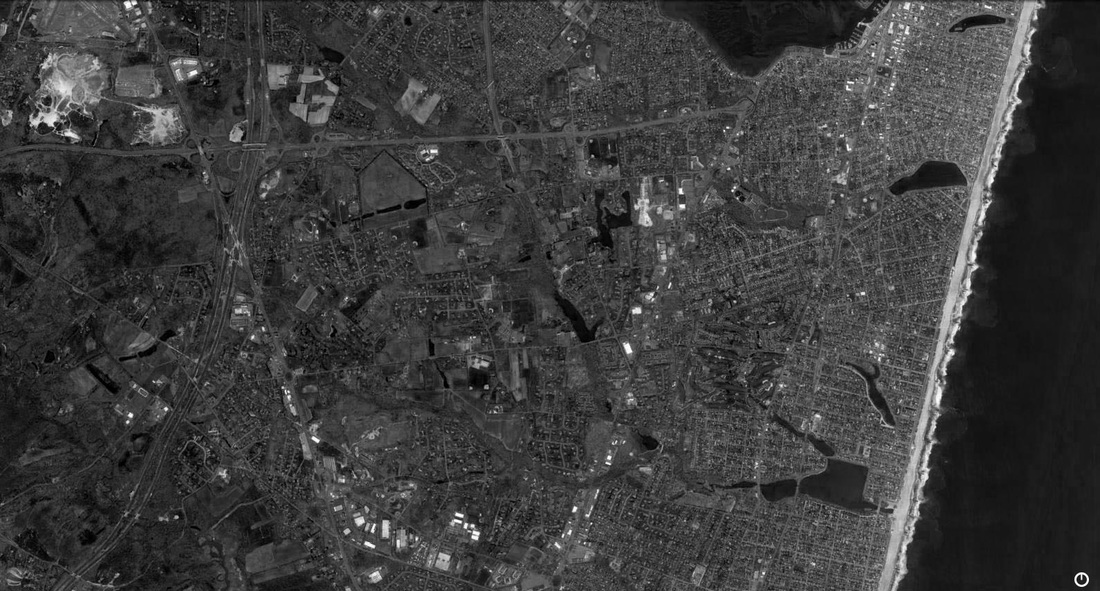
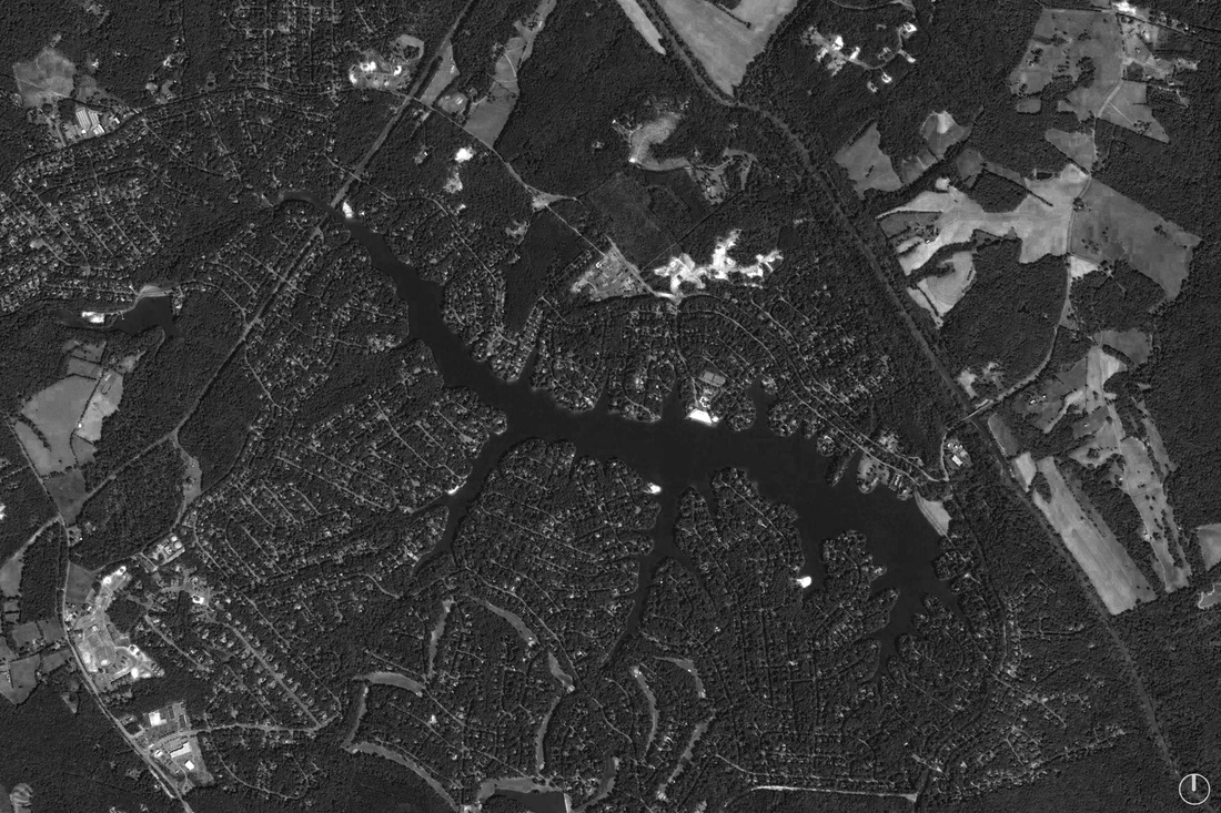
My method of creation was simple yet intense. The images below are all Google Earth® aerial images so in order to have the highest resolution of the chosen cities I divided each one into a grid. In doing so I was able to zoom into the different quadrants of the grid to extract the high resolution areas that I then "stitched" together in Adobe Photoshop® to create one final image. The product is therefore an extremely high quality aerial image compared to a typical aerial view.
As a collection, these images serve us to be able to view various locations from the point of view alike to a high-soaring Eagle. They demonstrate how our built environment wraps around the Earth's natural landmasses and waterways.
Toronto, ON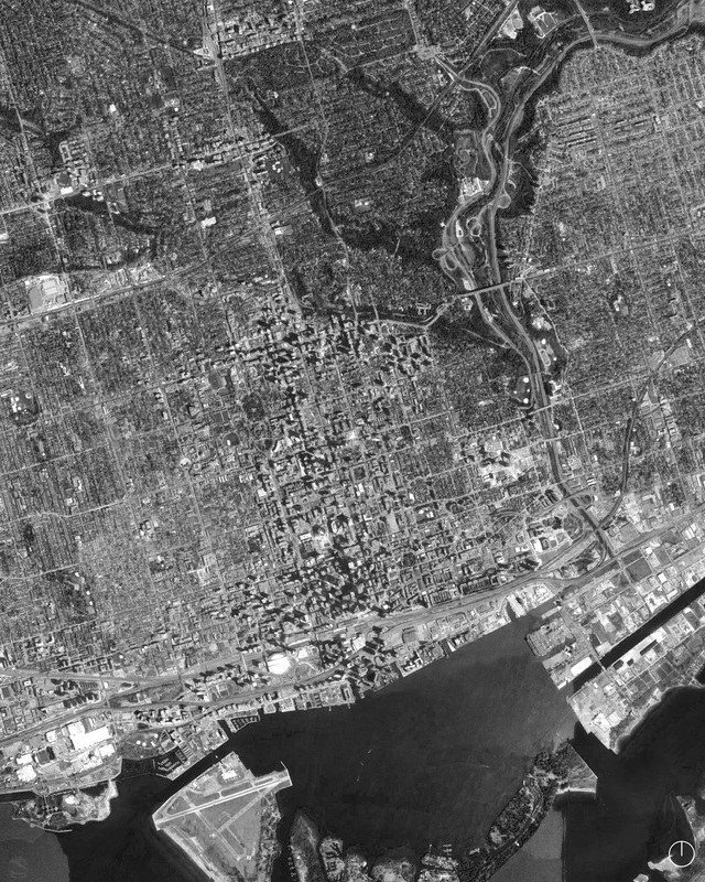
|
Chicago, IL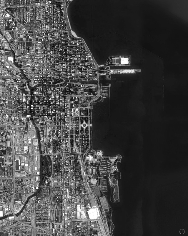
|
Phoenix, AZ
Manhattan, NY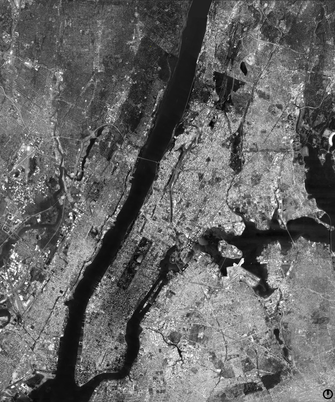
|
Atlanta, GA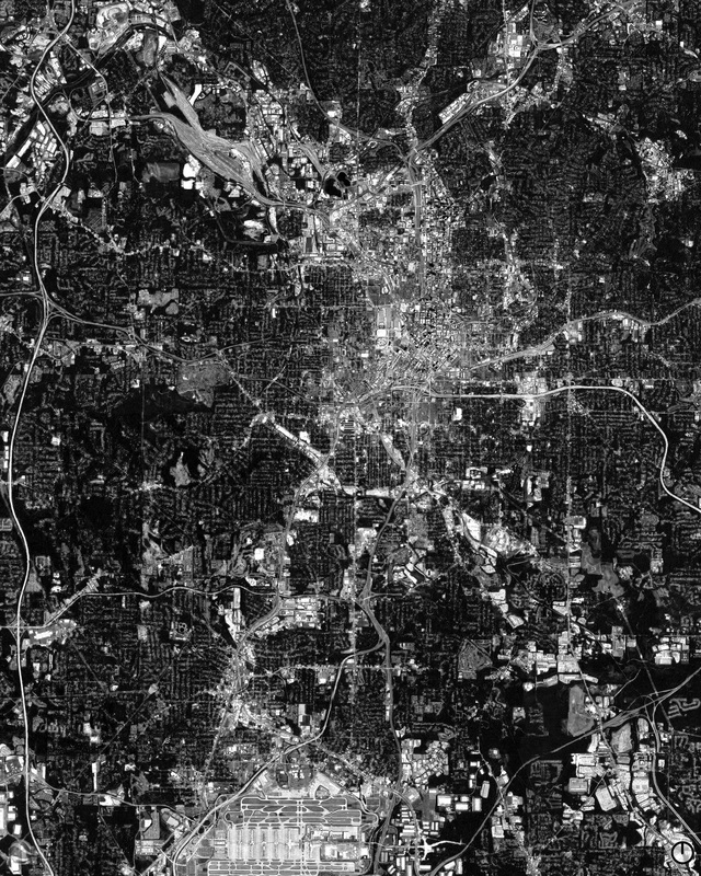
|
Boston, MA
Washington, D.C.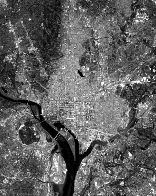
|
Memphis, TN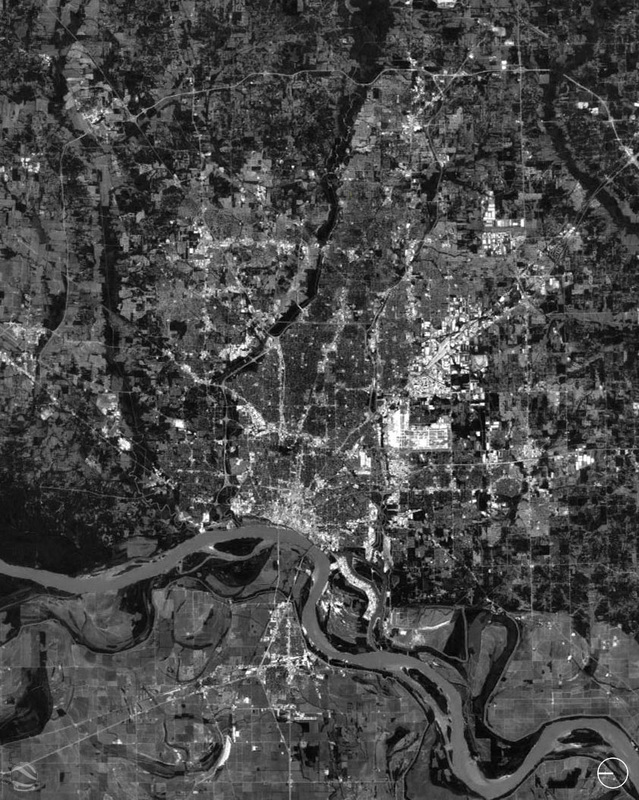
|
Streator, IL
Charlottesvile, VA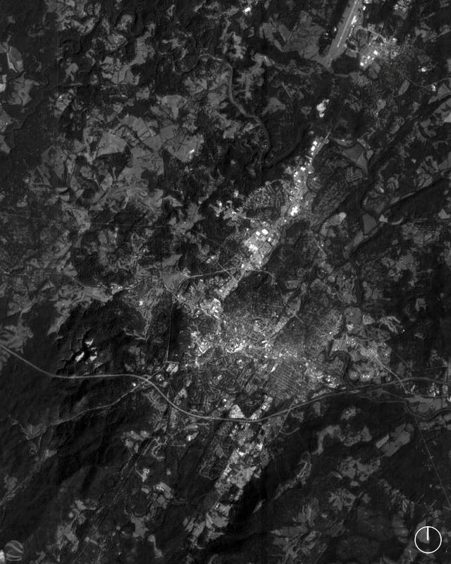
|
Reno, NV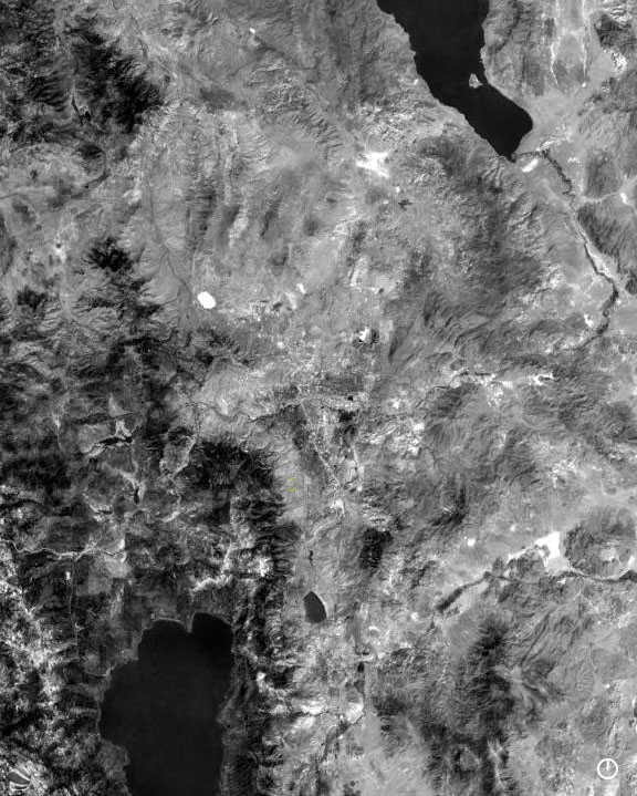
|
Jersey Shore, NJ
Lake Monticello, VA |
Baltimore, MD